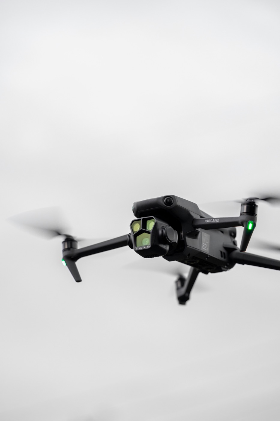
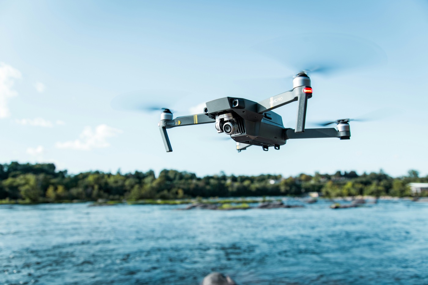
Cypress Drones, LLC delivers expert drone services across the region — from lost pet recovery operations to precision mapping and infrastructure inspection.
Specialized aerial operations tailored to your mission — carried out with precision, care, and expertise.
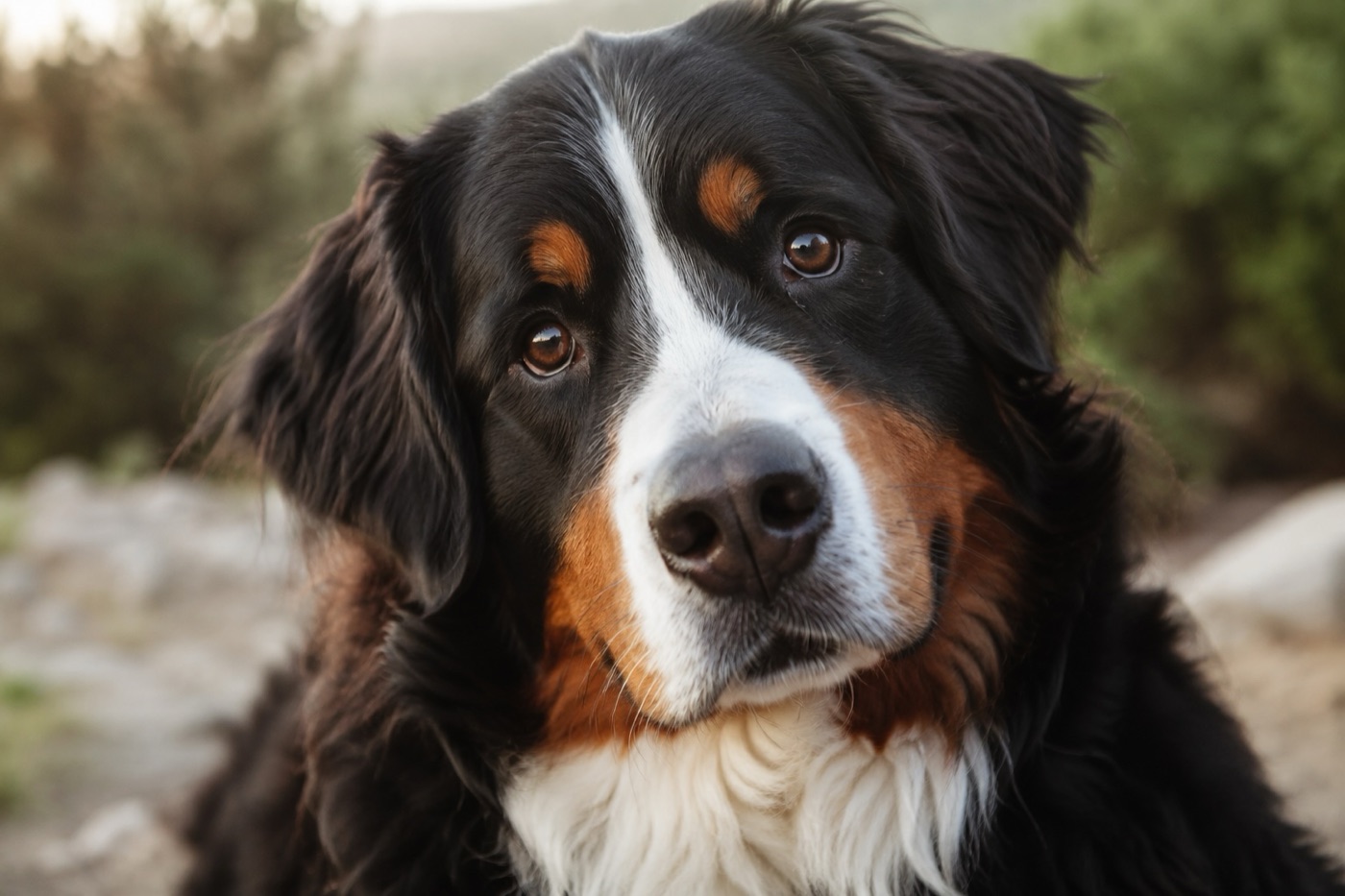
Lost pets are found faster with thermal imaging and aerial search patterns — covering terrain quickly that ground searchers cannot.
Explore Pet Recovery ↗
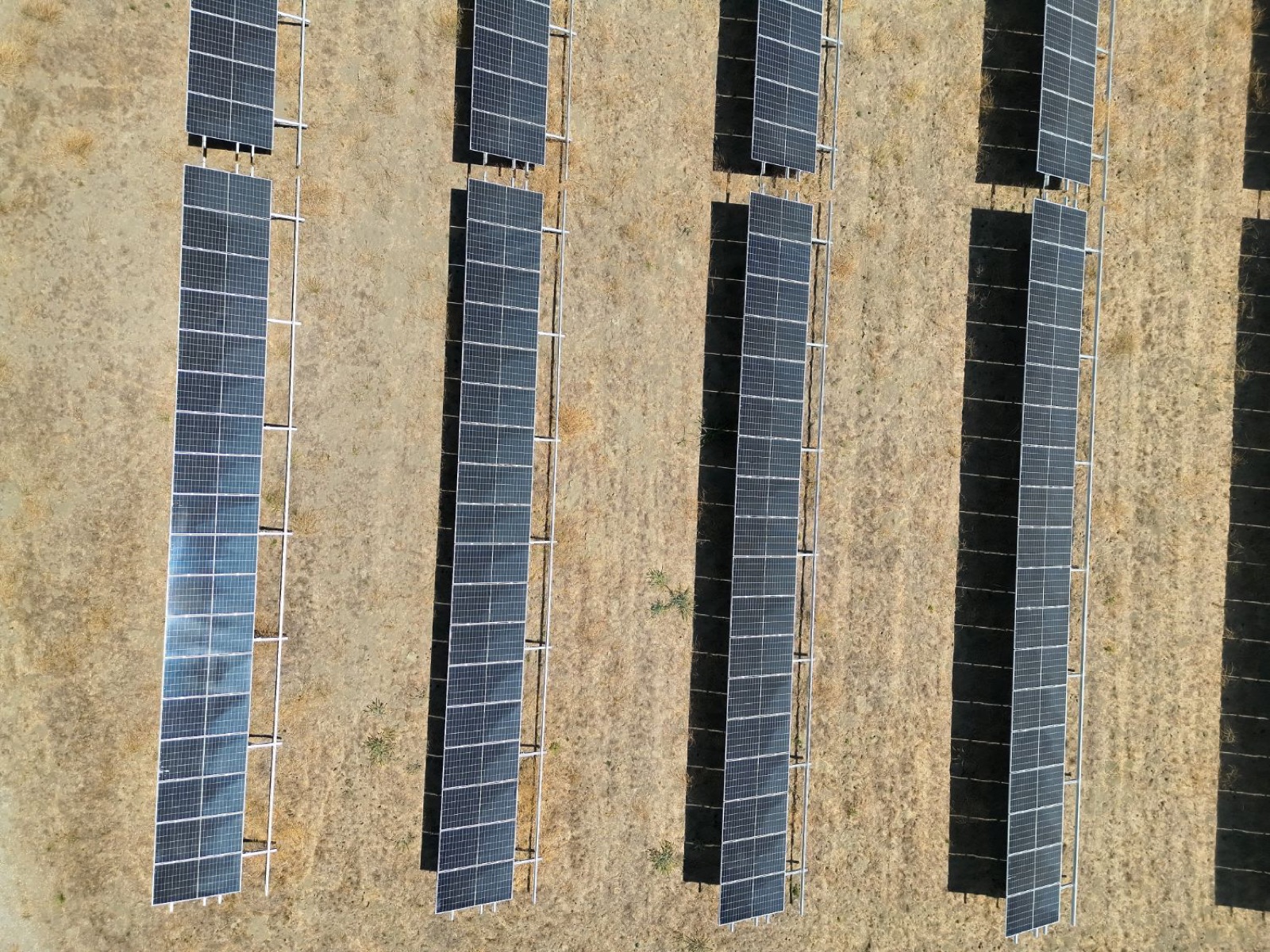
Safe, detailed aerial inspections for roofs, solar farms, and fire damage — structures too dangerous or difficult to access on foot.
Explore Inspection ↗
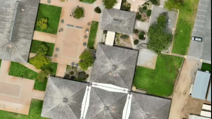
Accurate aerial mapping and 3D models for land development, agriculture, and construction — delivered faster than traditional methods.
Explore Mapping & Modeling ↗Our certified pilots bring the right equipment and expertise to every job site — from open fields to complex structures.
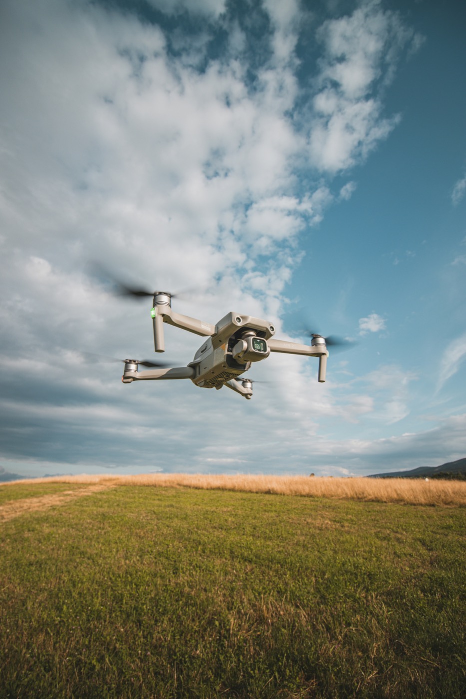
We bring professional-grade capabilities and a mission-first mindset to every flight.
All operations are conducted by FAA Part 107 certified pilots, ensuring legal, safe, and professional service.
We fly professional-grade drones equipped with thermal imaging, high-resolution cameras, and precision sensors.
Time-sensitive missions like pet recovery get priority. We mobilize fast when every minute counts.
Fully insured operations with clear deliverables, professional reporting, and transparent communication throughout.
Tell us about your project or situation and we'll get back to you promptly. Whether it's an urgent pet recovery or a planned survey, we're here to help.